Trail Review of Colorado Bend State Park
Saturday morning of Valentine’s Day started full of possibilities. We were finally warm again, after freezing all night in our tent, and we were feasting on a breakfast of Dutch oven cinnamon rolls. Things were looking up!
We decided to hike to Gorman Falls, one of the major landmarks of Colorado Bend State Park, and chose our route on the map. Our plan was to follow Gorman Falls Trail and take a Right, Right, and Left, in that order, at a series of forks in the trail, with a predicted arrival at Gorman Falls one mile and one hour later.
Fast forward one hour, and we’re still walking down the trail and no waterfall can be seen or heard for miles.
The nape of my neck was drenched and my legs were sending a distress signal to my brain. I’d already emptied one water bottle and was eyeing the second. Trooper’s tongue was hanging out the side of his mouth. As an even bigger signal of his exhaustion, he had given up sniffing and peeing on one plant every five feet to only sniffing and peeing on one plant every fifty feet.
Where in the heck were these Godforsaken falls? I was asking myself. They were only supposed to be about a mile from the parking lot, but I knew we had covered at least a mile and a half and all we could see was flat terrain.
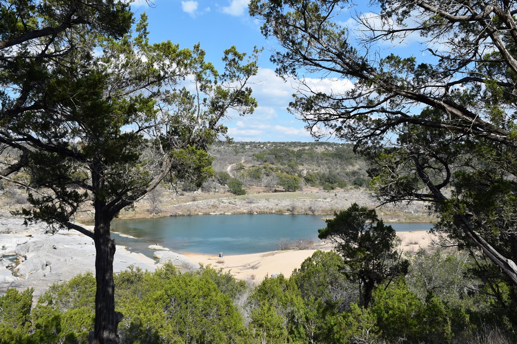
We got out the map to assess the situation and found we had taken a Left, Right, Right instead of Right, Right, Left, or something, and added oh, just a few miles onto our journey. The trail we were currently on was called Tie Slide Cutoff, which, despite its distance from our intended destination, had gorgeous views of the river.
Pressing on, we finally reconnected with the proper trail and reached Gorman Falls, which were so beautiful that I forgot about how exhausted I was. You can’t miss this sight if you go to Colorado Bend. (Pics below.)
And, on the bright side, we saw a lot of the park. Here are a few of the trails that piqued my interest:
Tie Slide Trail and Cutoff – 1.9 mi, Easy
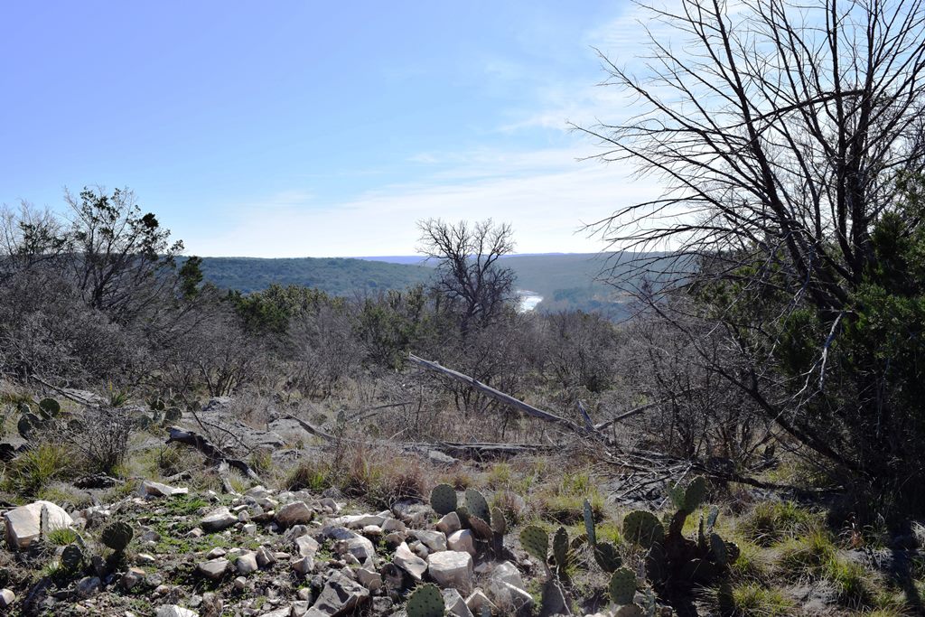
Frequent changes in scenery, minimal to no traffic, and incredible views of the Colorado river down in the valley. This part of the park is at higher elevation so the views are pretty sweet (when not obscured by juniper trees.)
Heller Brakes Trail – 1 mi, Easy
Flat, pretty, easy.
Gorman Falls Trail – 1.2 mi, Easy
A must see.
Shockingly this trail is labeled “Strenuous.” How this trail is labeled strenuous and the sheer cliff I skied down last year in Breckenridge is labeled green/easy? Whoever is in charge of labeling slopes has probably been responsible for a lot of confusion.
The last twenty yards or so down to the falls is steep, but no more difficult than climbing two steps at a time on a staircase. I watched a woman do it in flip flops, for heaven’s sake.
I don’t recommend doing it in flip flops, though.
River Trail – 3.6 mi (depending on where you start/end), Easy
Loved this one.
Flat, wide, and endless river views. There’s something relaxing and peaceful about staring at a body of water for an entire hike. Another reason to like this trail—it connects with a web of other trails, giving you lots of choices.
Brandon and I followed it up past our campsite for about a mile and a half.
Tinaja Trail – 5.5 mi, Long and “challenging”
I didn’t actually try this trail so can’t vouch for its difficulty. I was bummed we didn’t get to hike this one because it promises to have the best views of the park. NOTE: The guidebook says it’s only 3 miles long, but fails to mention that in order to get to the trail, and then back to your car again, you need to hike an additional two miles or so.
There are more trails than I’ve mentioned here but these are the ones that interested me.
Lesson learned: when you come to a fork in the road, get out the map.


One Comment
Pingback: